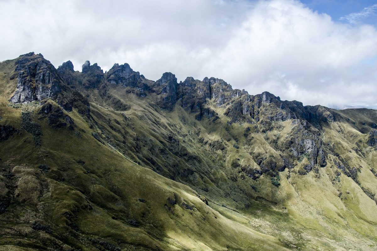
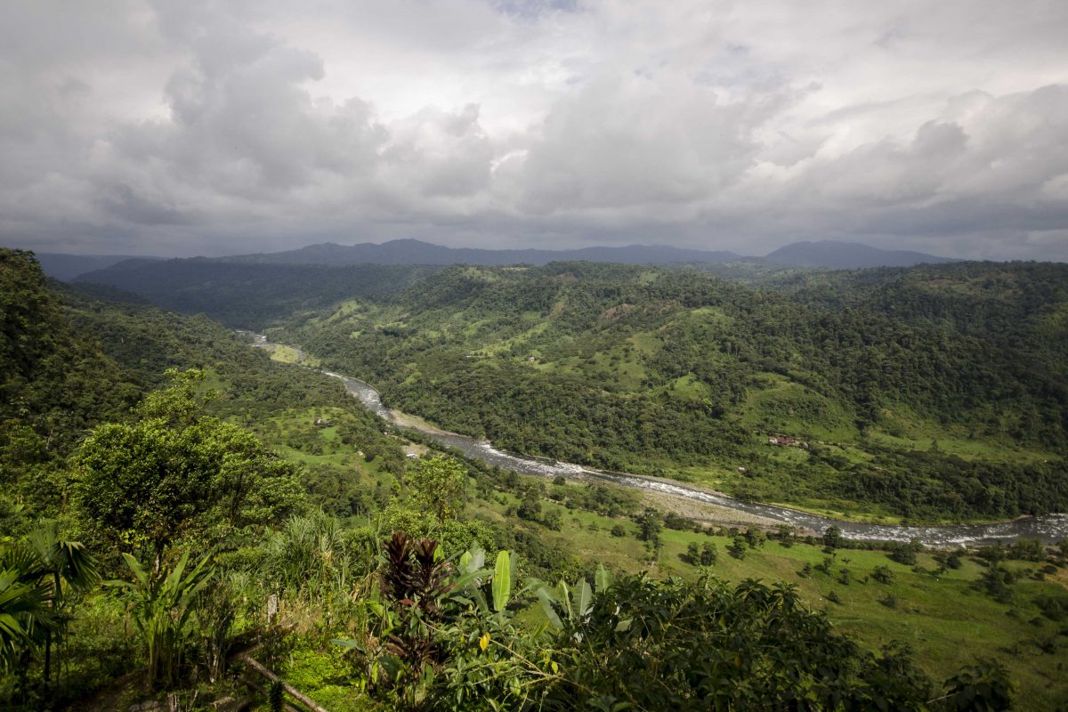
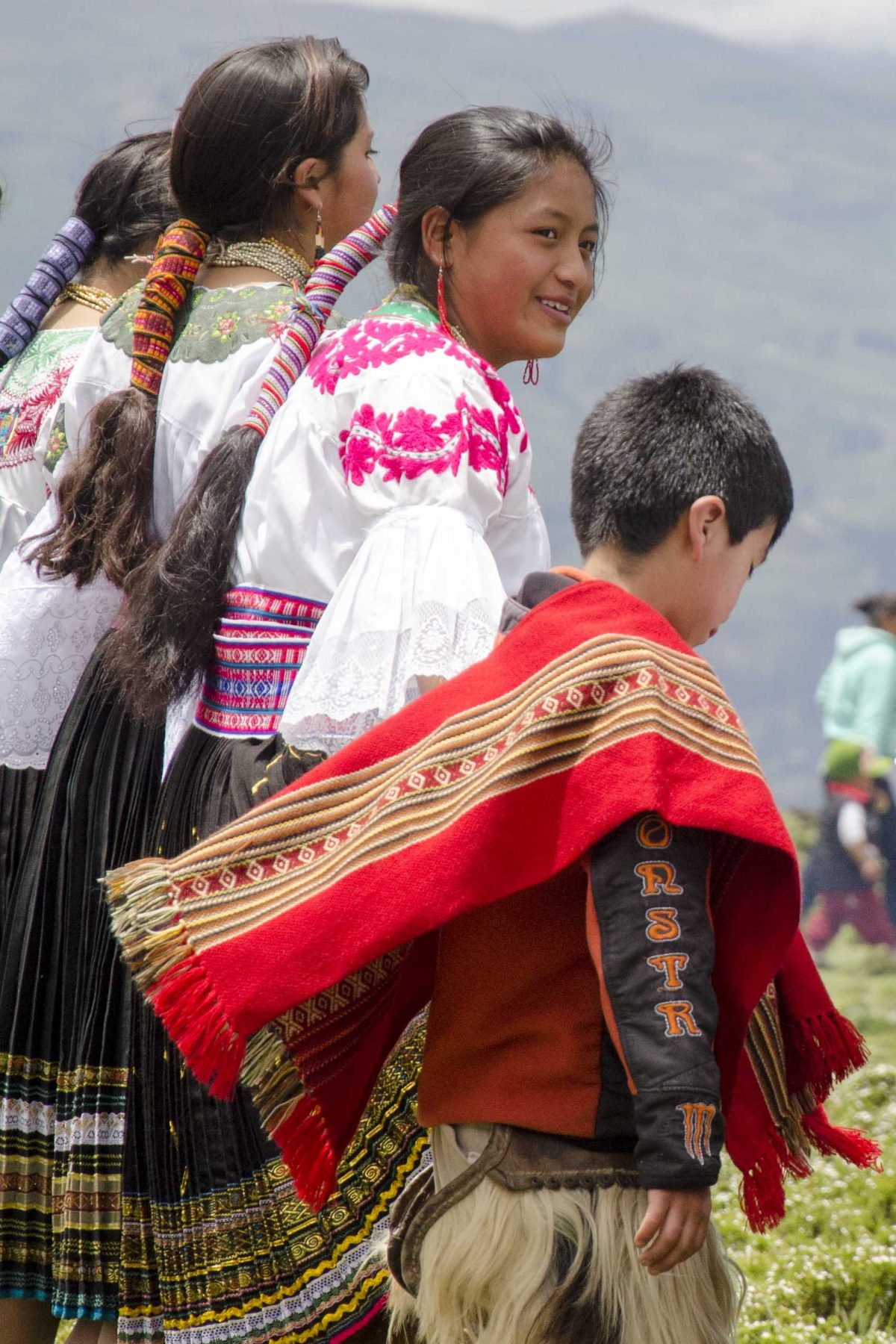
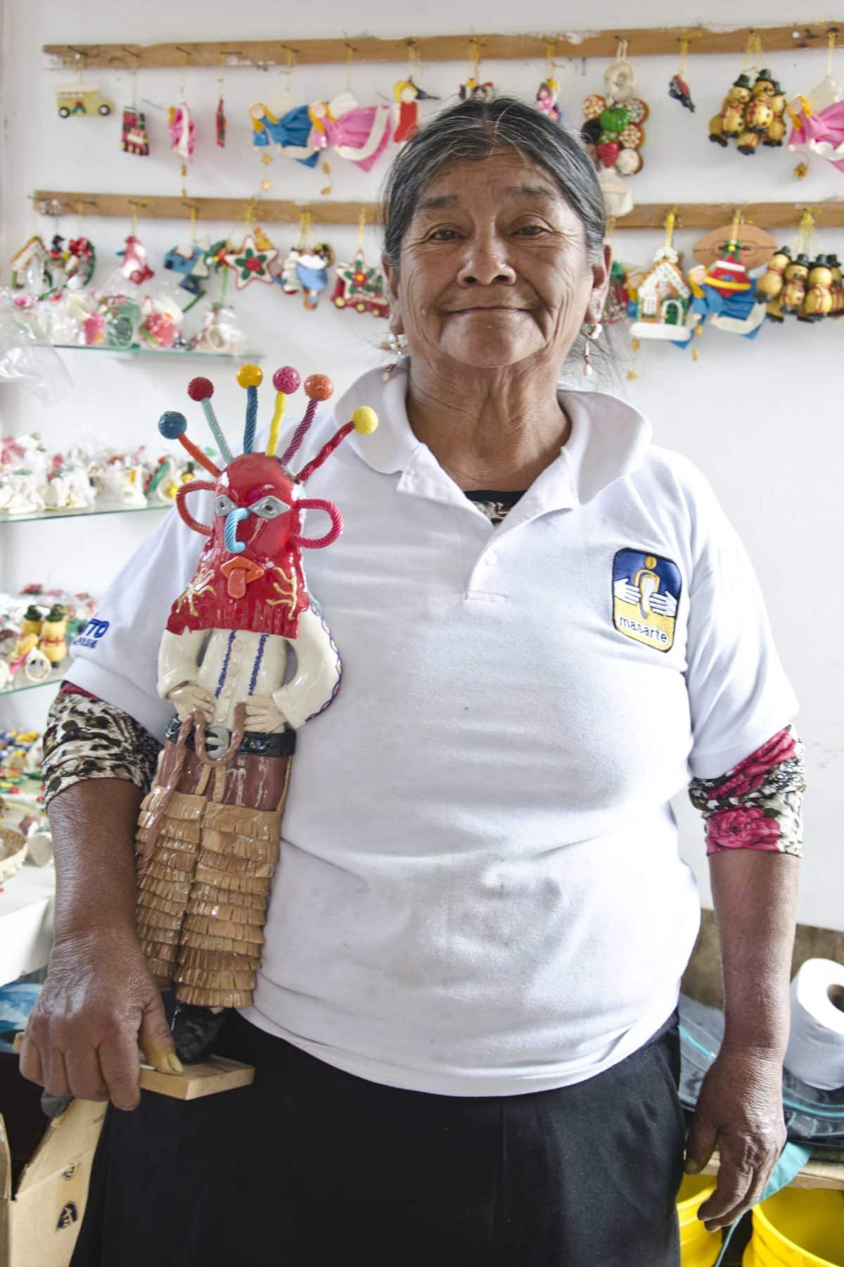
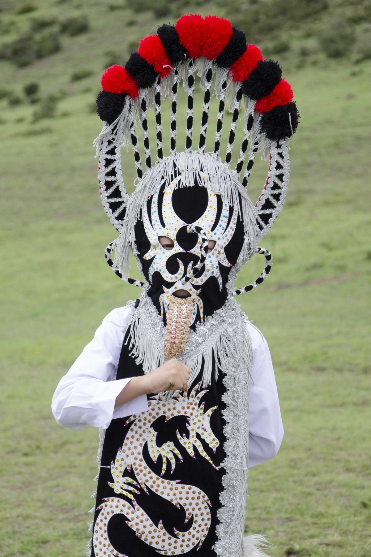
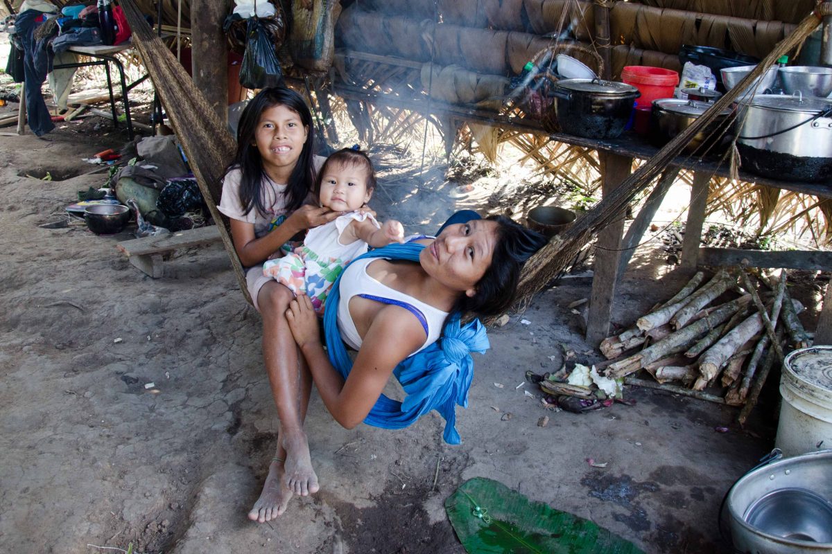
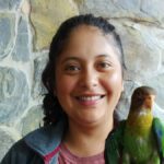
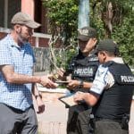
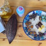
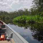
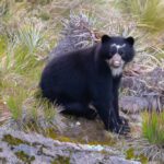
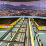
The Pichincha Province of Ecuador is home to so many wonderful places that I dedicated many different sections of the book, Ecuador Por Mis Ojos, to this single province. The first set of photos focuses on the diversity of geography and people.
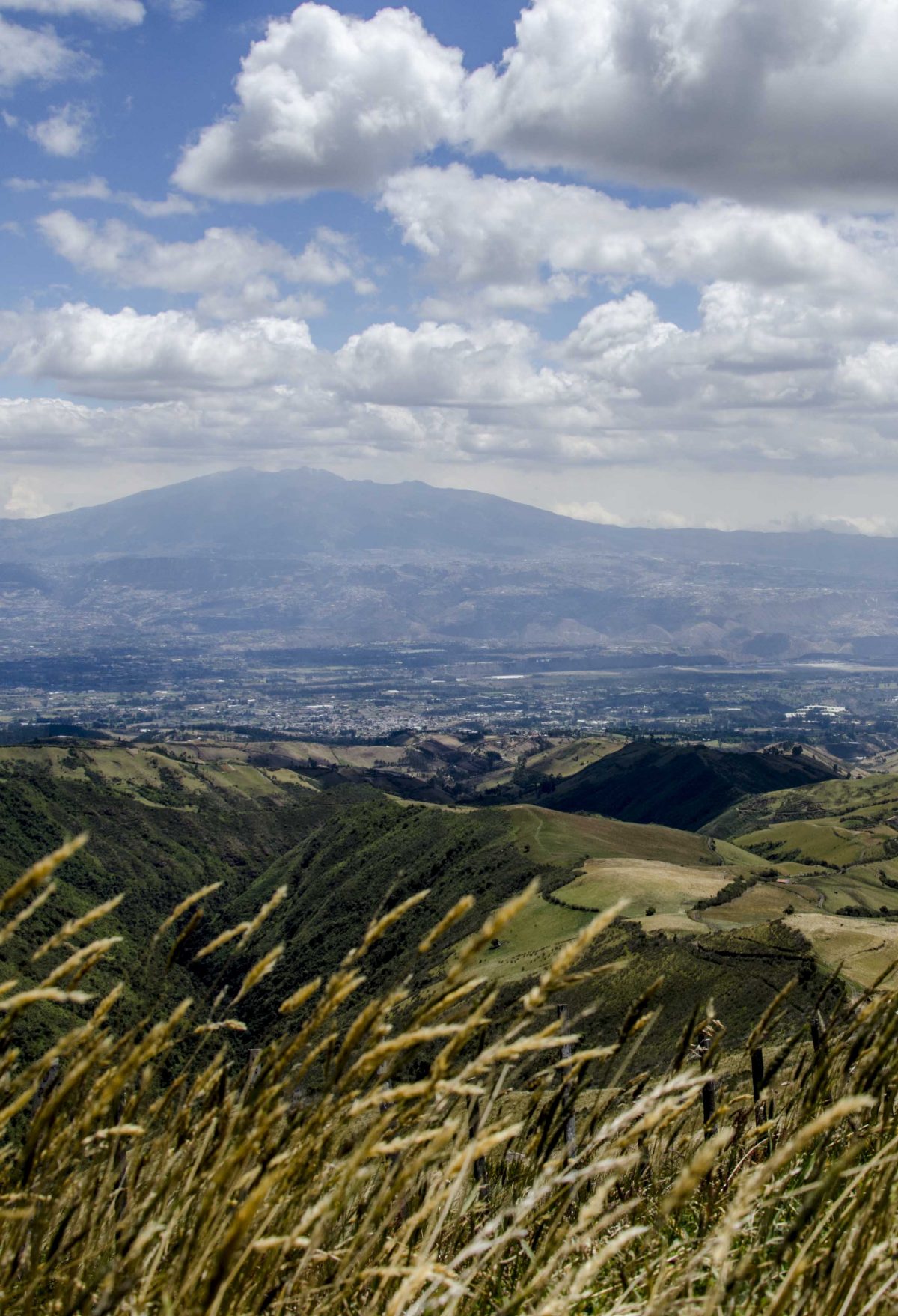
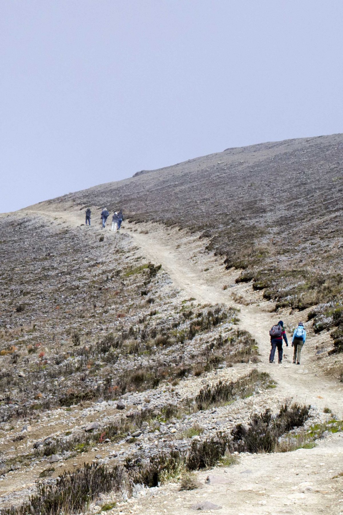
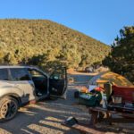
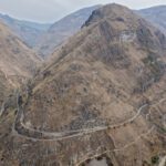
Parts of Pichincha are very rural, even wild. The province spreads out across a wide area and includes the third highest mountain in Ecuador, Cayambe, high paramo (tops of all the mountains in the area), mysterious cloud forests (slopes near Mindo, Nanegalito, and Tandayapa), high-altitude desert (Parque Jerusalem) and low river valleys, like that near San Miguel de Los Bancos. There are thousands of small farms and hundreds of tiny villages.
Many people come through the Pichincha Province on their way to the Galapagos. They arrive from other countries to the international airport at Quito, stay a mere night or two, and might visit the Historic Center of Quito. Most don’t even know of the places waiting to be discovered.
These photos barely scratch the surface.
If you would like to read more about the Pichincha Province, check out some of these articles:
- Hiking Guagua Pichincha
- Lloa, the Gateway to Guagua Pichincha
- Hiking Rucu Pichincha
- Jerusalem Regional Park
- Mitad del Mundo
- Tulipe, Ancient Ruins of the Yumbo
- Hiking Cerro Puntas
- Mazapán of Calderon
- Best Guinea Pig in Selva Alegre
- Cascada Condor Machay
- Rumibosque Waterfall
ECUADOR POR MIS OJOS
Last year, the Instituto Geografico Militar of Ecuador and I released a book of photography, Ecuador Por Mis Ojos. This post shares photos from that book.
If you would like to see other photos from the book, please check out:






0 Comments